1992-1994
At the very beginning the trails, all on USFS or BLM public lands, were user-built or old logging roads. Mountain biking was in its early adolescence and those who wanted to pursue the sport further had to go it on their own. It was a matter of time before land managers became aware of the situation and initially the reaction was to close down the trails, but that was met with an organized and articulate opposition. Around 1992-94, A happy compromise was met: The trail advocates – COTA founders – agreed to not proliferate any further user-built construction after a full inventory and the land managers agreed to add those trails to their system which necessitated some signage and trail head kiosks. This was essentially the humble beginning of the now vast trail network just west of Bend.
1998
A galvanizing moment came in 1998 when the Oregon Department of Transportation (ODOT) proposed a surface rock extraction in the vicinity of one of our more popular mountain bike trails; Phil’s trail. Extracting the rock would have obliterated that trail, but by gathering over 3000 signatures in opposition, COTA was able to put a halt to the project. COTA had made a bit of a name for itself and brought together a group of people who loved mountain biking and mountain biking trails.
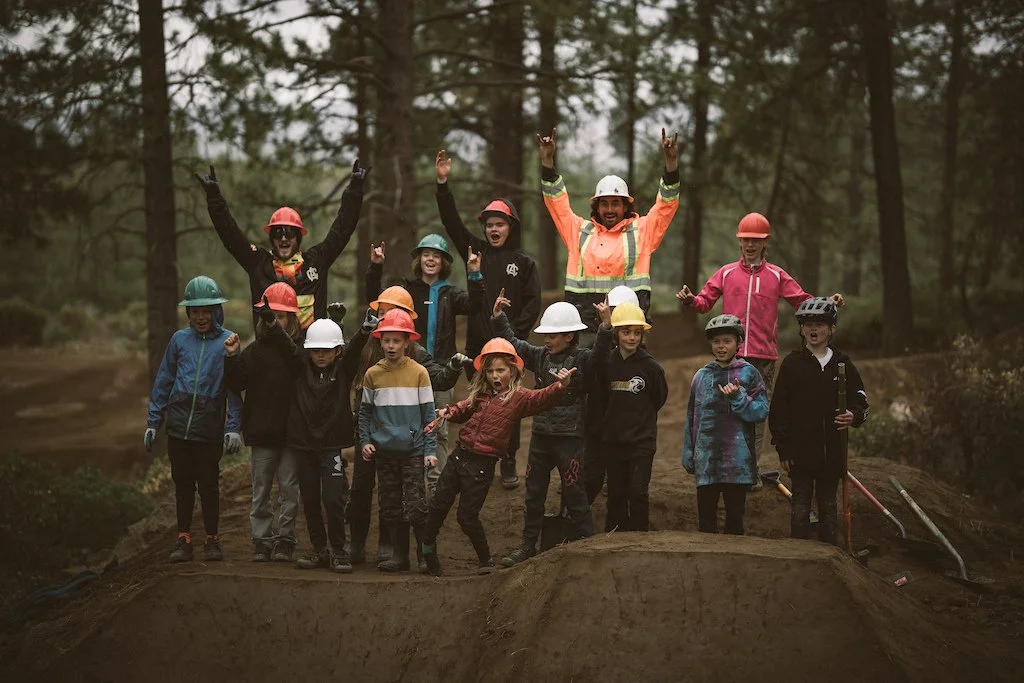
Around this time, COTA also recognized the importance of demonstrating commitment to trail stewardship to the Forest Service and organized the first Annual COTA Spring Fling and other “Work Parties”. These events had a singular focus – to perform trail work – but they also allowed COTA organizers to pass on the ethic of “trail stewardship” to eager volunteers, thus creating a community of mountain bikers that were also dedicated to taking care of the trails.
Also in the late 1990’s and early 2000’s the increase in promoted events and races on the Deschutes National Forest raised concerns with COTA about the long-term sustainability of the existing trails. We worked hard to bring these issues to the Forest Service and were initially met with resistance. However, with patience and persistence and many discussions, COTA worked with the USFS to plan and build, from the ground up, a competitive event area with trails designed specifically for heavier use. Twelve years later, we now know of this area as the Wanoga Complex that includes over 35 miles of trails that didn’t exist prior to this time.
2000
At this same time, in the early 2000’s, COTA became involved with the BLM Prineville District’s long range planning process that included the Maston Area and adjacent Cline Buttes, two key winter riding areas. Through a similar process, COTA worked with, and is still working with the BLM as well as other trail user groups to establish a comprehensive trail network on those lands. For the first time, we collaborated directly with the Oregon Equestrian Trails to develop “separate but equal” trails within the same network. In 2010, The Radlands, in Redmond, became our first project to develop on non-federal land, and we worked with the Redmond Parks & Recreation Department and Deschutes County to create a multi-use network adjacent to the City of Redmond.
NOW
We have come a long way from those early days of plotting trails through the forest, but in many cases, those early trails are still being used today. This is thanks to COTA’s early volunteers and their vision and willingness to learn about trail planning, design, construction and maintenance. We have spent the last 20 years working diligently and patiently with land managers, building coalitions in the community, organizing committed volunteers and reaching out to other trail user groups to steward the mountain bike trails that we love so much.