Central Oregon's
Hidden Gem Trail Information
Get ready to explore some hidden gem trails!
Skillfully built to weave through the beautiful Central Oregon landscape, these trails will thrill riders of every caliber. Enjoy some chill afternoon cruises or rip some serious rugged terrain - your next ride may be right outside your door or have you shredding down far-off mountains.
The following trail descriptions will set your next adventure up for success with information like directions to trailheads, area descriptions, trail highlights, adaptive bike info, and trail stats.
Most of these trails are multi-use, so let’s all have fun out there and remember to be courteous to other users! Check out trail etiquette here.
This is COTA's first time pulling together detailed trail descriptions and we would LOVE feedback from riders like you! Please email [email protected] to let us know how this information can be improved.
Grab your gear and enjoy!
trail locations
MADRAS |
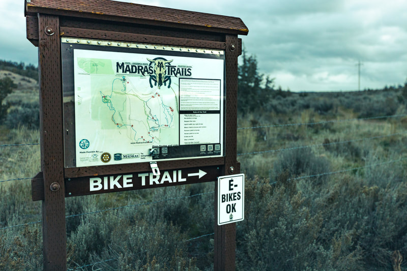
Madras East Hills NetworkLength: 12 miles total
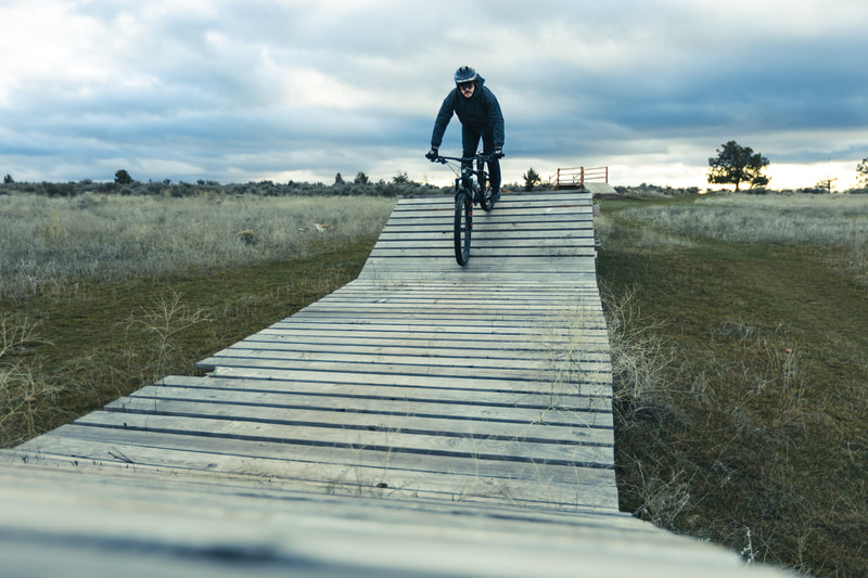
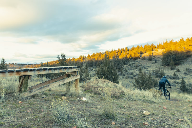
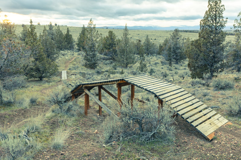
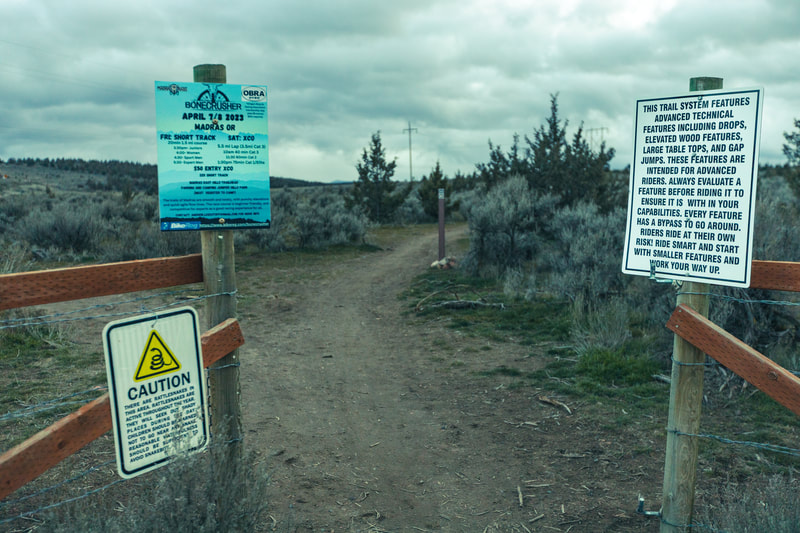
Biggest Climb: 281 feet (West Side Trail) Longest Descent: -175 feet (West Side Trail) Difficulty: Green/beginner (45%), Blue/intermediate (38%), Black/advanced (17%) Trail Uses: Mountain biking (class 1 e-bikes allowed), hiking and trail running (all trails), and horseback riding (separate from mountain biking trails) Adaptive Bike Info: Support rider recommended Features: A playground of berms, paved corners, jumps, drops, and wood features Directions: Right on the east edge of town in Madras. Coming north through town on US-97, take a right onto NE B St. NE B St turns into E Ashwood Rd. Keep going just past Juniper Hill Park, and the Madras East Hills Trailhead is on the right. |
Area Description: The Madras East Hills trail network has something for all skill levels. This trail network is predominantly in open sagebrush grassland with some juniper tree areas. The trails are snow-free almost all year, and since the soil is slightly clay-based, they stay solid year-round. The view of majestic Mt. Jefferson on a clear day is incredible.
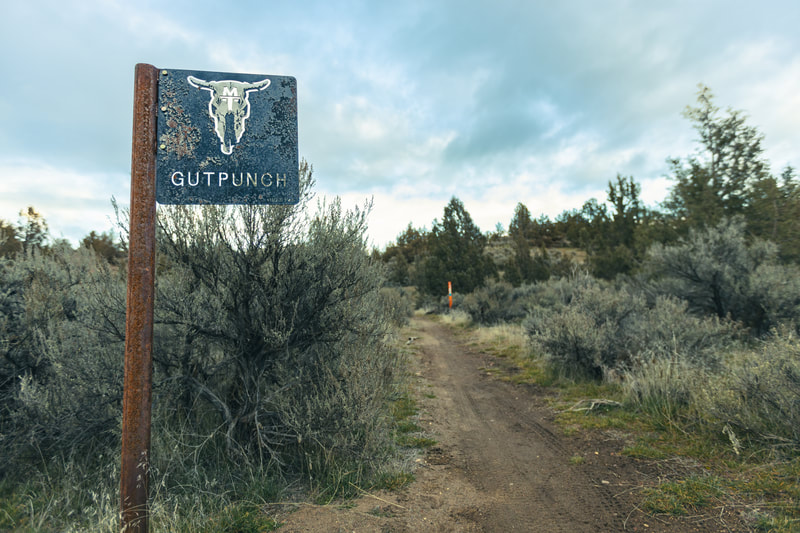
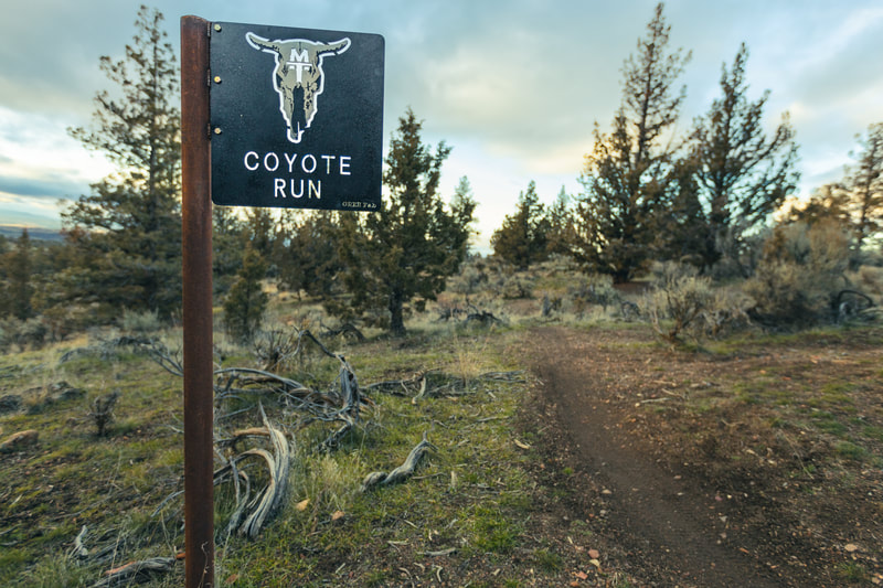
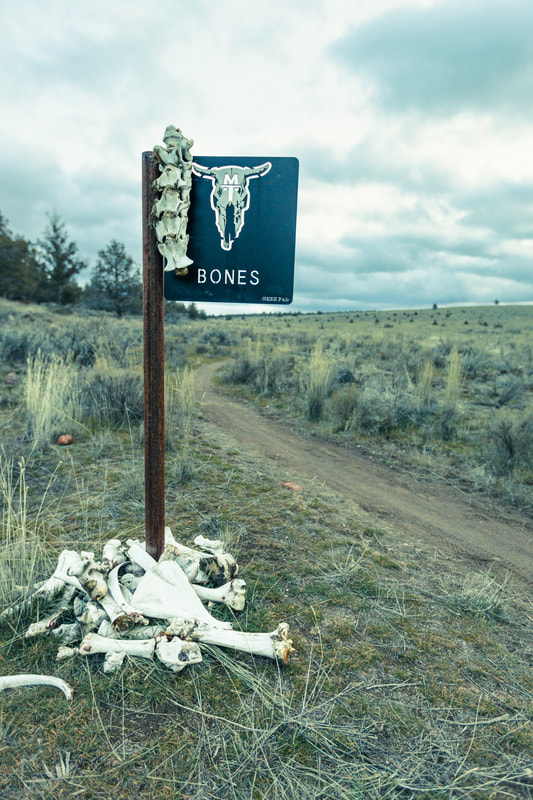
Trail Highlights: For a (mostly) beginner ride, take Bones Trail east. Climb the blue Gut Punch, then choose from multiple green options: Quarantine, The Ravine, Twin Snakes, or, for features like berms and skinnies, hit the Peek-A-Book Trail. Finish on Bridge to Nowhere with optional jumps (you can ride around them). For an intermediate option, take the blue West Side Trail, which has the biggest climb (281 feet) and the longest descent (-175 feet) in the trail system. The West Side will keep you entertained with paver berms and drops, and a couple of jumps. Climb Gut Punch and choose from several downhill options of various skill levels from Coyote Run (green) to White Buffalo (advanced/expert). Not done yet? Take Bones south and climb Gut Punch again and choose a different downhill line. Looking for endless advanced jumps? Check out Trestles or Strong Whisky. Keep in mind these trails and the return trails are one-way! |
|
|
OCHOCO MOUNTAINS |
Bandit SpringsLength: 12 miles total
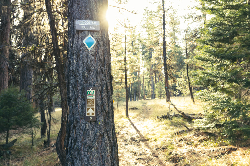
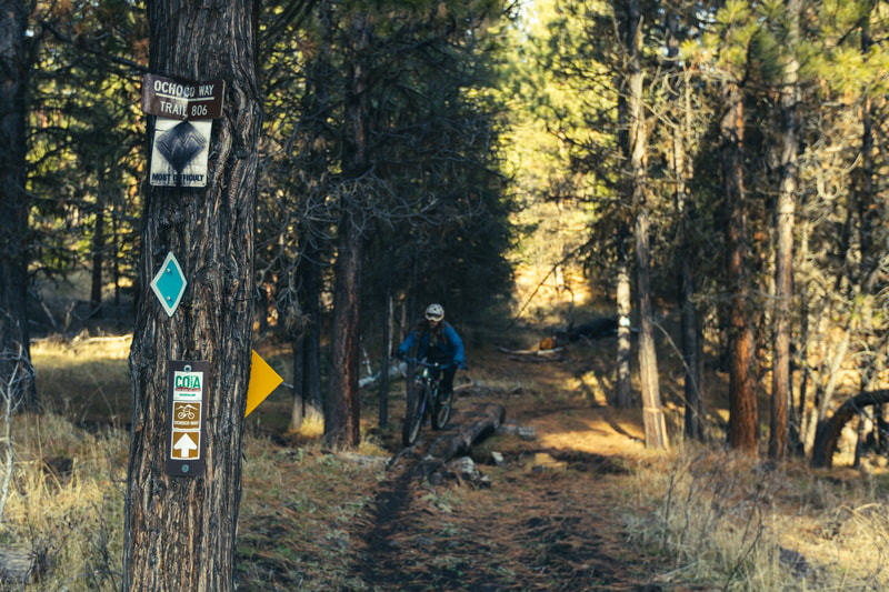
Biggest Climb: 356 feet (Ochoco Way Trail) Longest Descent: -489 feet (Ochoco Way Trail) Difficulty: Green (96%) and Blue (4%) Trail Uses: Mountain biking (no e-bikes), hiking and trail running, winter cross-country skiing Adaptive Bike Info: Support riders are recommended as the area has not been formally assessed for accessibility Features: Berms and small rock obstacles Directions: From Prineville, head East on US-26. Park at the Rest Area - around 23 miles from Ochoco Lake County Park. Area Description: A nordic ski area in winter and a mountain biking and hiking gem in summer, Bandit Springs Trail Network is nestled in the heart of the Ochoco National Forest. Surrounded by a mature ponderosa forest, the trails at Bandit Springs wind through an exquisite landscape. |
Trail Highlights: Bandit Springs hosts a network of trails that are all green, with a single downhill primary blue-rated trail.
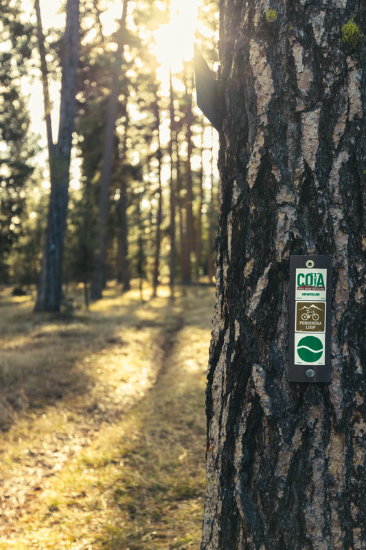
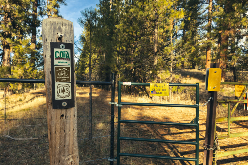
For a sizeable green-rated loop with some endurance sections, go left at the Ponderosa Loop Trailhead and make your way to McGinnis Creek Trail. In the middle of a considerably strenuous climb, stay straight on Ochoco Way Trail, and you’ll be rewarded with a ripping descent through ponderosa pines and some small rock obstacles. Wrap up the loop on Ponderosa Loop Trail or keep it rolling on McGinnis, where you’ll have access to some fun downhills on Easy or Woodpecker Trail. If you want a bit of a challenge, you can hit the downhill primary Bow Tie Trail off Woodpecker. You can also connect with blue-rated Cougar Creek and Scotty Creek Trails via FS roads. Hunting is popular in this area, so riders should use discretion during hunting season. Cow gates and grazing are common in this area, so be on the lookout, and please close gates behind you. |
|
|
PotlidLength: 6.3 miles total
Climb: 320 feet Descent: -2,219 feet Difficulty: Blue Trail Uses: Mountain biking (no e-bikes), hiking and trail running, and horseback riding Adaptive Bike Info: Support riders are recommended for adaptive mountain bikers Features: South to north (downhill), lots of free-speed and flow Directions: Potlid South Trailhead: Head SE on US-26 (toward NW McCabe Rd) and turn left onto NW Gerke Rd. After around 5 miles, you’ll cross a small creek - take an immediate left. Then take a slight left onto McKay Creek Rd. Continue onto NF-33. After 9.2 miles, veer left onto Little Mckay Rd. (NF-27). After 6.4 miles, turn right onto Ingram Point Rd., then take a slight right onto NF-27. After 1.4 miles, turn left and park at the Potlid South Trailhead. |
Area Description: You have a couple of options with the Potlid trail - you can shuttle it, ride out-and-back, or hit the Forest Service road and do a loop (the FS road connects to both north and south trailheads). Riding south to north is preferred since this is the downhill route. You’ll find yourself weaving through open, grassy ponderosa pine forests, and views of the Northern Cascades won’t disappoint - Mt. Jefferson, Mt. Hood, and even Mt. Adams on an extraordinarily clear day.
Trail Highlights: While this trail is blue-rated, the out-and-back option requires a difficult but rewarding black-rated climb. |
|
Additional Info: Bend Trails and Trailforks |
Scotty CreekLength: 4.3 miles total
Climb: 66 feet Descent: -2,258 feet Difficulty: Blue Trail Uses: Mountain biking (no e-bikes), hiking and trail running, and horseback riding Adaptive Bike Info: Support riders are recommended for adaptive mountain bikers Features: Not particularly technical, but very fast with a lot of natural, steep flow Directions: Head SE on US-26 (Ochoco Hwy). Pass Ochoco Reservoir and Marks Lake. After about 31 miles, you’ll see a sign for Ochoco Divide Group Site - take a left onto Grant Springs Rd. (NF-27/Summit Rd). Then turn right onto NF-2730. After .7 miles, take a slight left onto Grant Springs Rd (NF-27/Summit Rd). After 2.4 miles, turn right, then take a slight left at Forest Service Rd 250. In .7 miles, Scotty Creek Trailhead will be on your right. |
Area Description: Fast and flowy trail in the Ochoco Mountains! A quick and furious 2000’+ descent through a ponderosa pine and mixed conifer forest that spits you out where the lower trailhead meets Cougar Creek Trail. There aren’t a lot of technical areas, but speed picks up immediately for some natural, steep flow.
Trail Highlights: Since the descent is so steep, the out-and-back route is not commonly ridden, as the climb back up would be a burner. If you want to do a loop, you can climb Cougar Creek Trail and make your way back to the upper trailhead via the access routes, or you can shuttle. Planning a weekend? Scotty Creek and Cougar Creek trails are the perfect weekend duo. Camp at the lower trailhead or in the Ochocos, and plan a few days exploring both! |
|
Additional Info: Bend Trails and Trailforks |
Cougar CreekLength: 7.9 miles total
Climb: 1,515 feet Descent: -2,360 feet Difficulty: Blue Trail Uses: Mountain biking (no e-bikes), and hiking and trail running Adaptive Bike Info: Support riders are recommended for adaptive mountain bikers Features: Exposure, steep off-camber tread, and blind, hairpin turns coming at high speed Directions: Cougar East Trailhead (most common): Head SE on US-26 (Ochoco Hwy). Pass Ochoco Reservoir and Marks Lake. After around 33 miles, you’ll pass NF-600 - keep driving for another .7 miles, then turn left onto Cougar East Trailhead. Cougar West Trailhead: Head SE on US-26 (Ochoco Hwy). Pass Ochoco Reservoir and Marks Lake. After about 31 miles, you’ll see a sign for Ochoco Divide Group Site - take a left onto Grant Springs Rd. (NF-27/Summit Rd). Then turn right onto NF-2730. Continue on NF-2730 for 6.9 miles. At the fork with Bear Creek Rd., turn right on NF-2735. In 2 miles, turn right onto Cougar West Trailhead. |
Area Description: Looking for some solid downhill kicks? Cougar Creek Trail is an old, historic pack trail revamped by COTA’s Crook County chapter for your riding pleasure. That said, this trail still carries some of its original character. You’ll rip through the beautiful Ochoco National Forest and find stunning views in some open areas. Charred trees are still scattered throughout the area from the 2014 Bailey Butte fire, so be cautious of deadfall and erosion along the trail.
Trail Highlights: Typically ridden from east to west, the trail starts with a mellow descent, which turns into a gradual climb to the peak of the gravel quarry. (You can also park here if you’re just looking for a downhill rip - access via FS roads.) From the top, the trail drops into an exhilarating, old-school downhill ride filled with blind, hairpin turns at high speed, steep off-camber tread, and some exposure. This is a two-way trail; however, narrow, blind corners make it difficult to see riders coming, so shuttling may be your best option. |
|
Additional Info: Bend Trails and Trailforks |
Lookout MountainLength: 10.9 miles total
Climb: 1,850 feet Descent: -3,295 feet Difficulty: Blue Trail Uses: Mountain biking (no e-bikes), hiking and trail running, hunters, and horseback riding Adaptive Bike Info: Support riders are recommended for adaptive mountain bikers Features: Off-camber trail areas, blind corners, and difficult, exposed rocky descent Directions: Lookout Mountain Upper Trailhead (most common): Head NE on US-26 (Ochoco Hwy). Pass Ochoco Reservoir toward Ochoco Creek Rd. Turn right onto Ochoco Creek Rd. After 5 miles, veer right onto Ochoco Creek Rd/Ochoco Ranger Rd. Drive for another 3.4 miles, then continue straight onto Canyon Creek Rd/NF-42. After 6.5 miles, take a slight right onto Lookout Mountain Rd/National Forest Develop Rd 4205 Trail, and Lookout Mountain Upper Trailhead will be on your right. Lookout Mountain Lower Trailhead: Head NE on US-26 (Ochoco Hwy). Pass Ochoco Reservoir toward Ochoco Creek Rd. Turn right onto Ochoco Creek Rd. After 5 miles, veer right onto Ochoco Creek Rd/Ochoco Ranger Rd. After 3.2 miles (right after Coyle Creek Rd), Lookout Mountain Lower Trailhead will be on the right. |
Area Description: As the name suggests - this trail is the primo of Ochoco National Forest. An epic, classic ride, this blue-rated trail starts out with a short climb to the summit (from Lookout Mountain Upper Trailhead), where you’ll come across the remains of an old, abandoned cinnabar mine to the left of the trail called the Independent Mine.
After hitting the top, the trail takes you through sagebrush and wildflowers on the ridgetop of Lookout Mountain, where you’ll soak in 360° panoramic views of the Ochocos and Central Oregon and breathe the fresh air of the beautiful alpine environment. In the spring, water areas thrive with plants, and some, like the colorful lupines, aren’t always trimmed back, so wear high socks as needed. This trail is seasonal (May-Oct) due to the snowpack that lasts well into the spring. Trail Highlights: As you head down from the ridgeline, you’ll experience a difficult technical rock section followed by a descent that will leave you stoked for days - a flowy 3,000 feet over the course of 7 miles with a couple short uphill punches. Hit the trail again by making a loop with Canyon Creek Rd - or really send it and add the blue-rated Round Mountain Trail to the loop (via Round Mountain Road Climb). The top of Round Mountain will give you a glimpse of the Lookout ridgeline you just rode, and to extend the shred, you can follow the Independent Mine Trail, which connects to the green-rated Line Butte Tie Trail and Line Butte Trail. The area has some dispersed camping opportunities, so plan ahead and rip the loops all weekend! Hunting is popular in this area, so riders should use discretion during hunting season. |
|
Additional Info: Bend Trails and Trailforks |
PRINEVILLE |
Barnes ButteLength: 12.4 miles of trails
Biggest Climb: 404 feet (South Butte Trail) Longest Descent: -390 feet (The Meadow Trail) Difficulty: Green/beginner (62%), Blue/intermediate (36%), Black/advanced (2%) Trail Uses: Mountain biking (no e-bikes) and hiking and trail running Adaptive Bike Info: Lower trails are accessible; however, support riders are recommended as there are steeper trails on the butte with rocky sections and narrow tread Features: Flat trails through grasslands and steep, rocky trails with interesting rock outcrops on the butte Directions: Coming from Prineville on US-26, turn left onto NE Combs Flat Rd. Drive 0.9 miles to the Barnes Butte Trailhead parking lot. Additional parking is available at the east end of NE Peters Road. |
Area Description: If you live in Prineville, these trails are right out your door! They also make a great day trip. Barnes Butte is a two-flavor trail system with easy paved and dirt trails on the flat lands on the west side of the system and steep trails on the butte on the east side of the system. The butte trails have great views of Prineville to the west and south and picturesque farmland to the north and east. You can also check out several cool rock outcrops along the trails.
Trail Highlights: For an easier outing, enjoy the mostly flat, 3-mile paved trail (dotted green on the map). Take it off the pavement, but keep it mellow on Calumet and Canal. The trails get more challenging quickly as you leave the flatlands and venture east onto the butte. The trails on the butte have a raw, rocky character that feels very backcountry, even though they are right in town. One intermediate/advanced ride option is to take Roblem Child to a right on South Butte and another right on Sonnie Johns. From there, Brent’s Trail takes you along the outside of the buttes to a short but steep climb on Butte to Butte. Hike up to the summit, then head down The Meadow, a downhill-primary trail that rips down some tight turns and off-camber tread. Return to the parking area on Canal Trail, or grind up Baby Burma (so named because its steepness may remind you of Burma Road at Smith Rock State Park) and do another lap on The Meadow. |
|
Additional Info: Trailforks |
66 TrailsLength: 7.5 miles total
Biggest Climb: 207 feet (Trashalanche! Trail) Longest Descent: -218 feet (The Crossing) Difficulty: Green (44%), Blue (53%), Black (3%) Trail Uses: Mountain biking (no e-bikes), and hiking and trail running Adaptive Bike Info: Support riders are recommended for adaptive mountain bikers Features: Berms and wood features Directions: Going West on US-26 (NE 3rd St.), take a slight left onto Ochoco Hwy (OR-126). Turn left onto S Rimrock Rd., then turn right onto SW Park Dr. The trailhead is at the end of the road before it forks. Area Description: The 66 Trails, right within Prineville, offer an exciting mountain biking experience across 66 acres of diverse terrain. The elevation of the trails offers stunning views of the town of Prineville, and the system holds great significance for the COTA Crook County Chapter, as they went above and beyond to learn trail-building skills and weave this network into the Ochoco Mountains. |
Trail Highlights: A compact trail system that takes you back through time and features a couple of loops with short but challenging technical sections.
Brewer's Choice provides a green-rated, moderate ride with occasional rocks, while Rocky Raccoon features a rock bridge crossing a seasonal creek. If you start out on Brewer’s Choice but choose to take Sporty Berms DH, you’ll have access to a few time-travel options. The cool, easy-going Trashalanche! Trail weaves you through vintage, discarded glass, car parts, and other unusual finds from the early 1900s, and the blue-rated Antique Roadshow Trail offers a couple tricky sections as it rips you past old, abandoned T-Model cars. The blue-rated Pebbles stands out as the original technical trail, offering challenging sections and impressive armored rock work. For a challenging out-and-back ride along rim rock, Quadruple Bypass Trail (accessed off of Tom McCall Road and Quadruple Bypass Access Road) boasts some fun technical features, like wood skinnies for days, and cliff views near the Facebook Campus. The technical black-rated Let ‘er Buck Trail in the 66 system is a hard hitter and downhill only! |
|
Additional Info: Bend Trails and Trailforks |
REDMOND |
RadlandsLength: 7 miles total
Biggest Climb: 85 feet (Radlands trail) Longest Descent: -69 feet (Radlands trail) Difficulty: Green (26%), Blue (39%), Black (35%) Trail Uses: Mountain biking (class 1 e-bikes allowed) and hiking and trail running (all trails) Adaptive Bike Info: Support rider required Features: Technical rock gardens Directions: East of Redmond, right outside of town. Heading north from Bend on Highway 97, turn right on NE Hemlock Ave. In .5 miles turn left on NE 9th Street. In another .5 mile turn right on NE Maple Ave. The trailhead is on your left between the High Desert Sports Complex and Smith Rock BMX. |
Area Description: A fun trail system just east of Redmond that hosts green, blue, and black-rated trails. The trails are in open sagebrush country with the occasional Juniper tree. Be sure to look to the horizon for beautiful views of the Cascade Mountains and Smith Rock. Great for mountain biking or hiking. Since the system sits at a low elevation, the trails are snow-free nearly year-round.
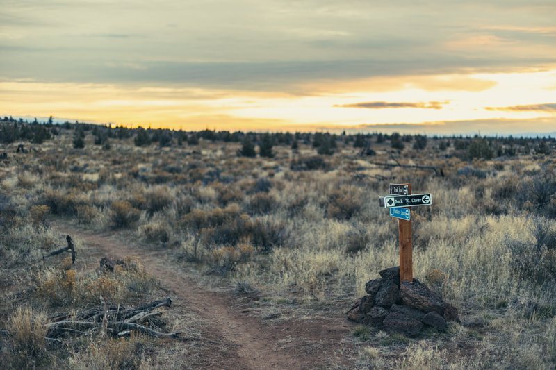
Trail Highlights: The Radlands are characterized by cross-country riding punctuated by short sections of steep and challenging technical rock gardens. May we suggest knee pads? Some of the non-rock portions become sandy in warmer weather. You might want to try out your fat bike on them! The network kicks off with the green Radlands trail. It can be ridden as a green loop by including a green section of the Bobber Trail. For an intermediate option, take the Radlands trail to access the blue Bobber and Duck n’ Cover trails, both of which feature technical rock gardens. For advanced riders, the black portion of the Duck n’ Cover Trail can be accessed from either Bobber or Duck n’ Cover and will take you on a windy, punchy rock ride. |
|
Additional Info: Bend Trails and Trailforks |
MastonLength: 19 miles total
Biggest Climb: 227 feet (Fat Rabbit Loop) Longest Descent: -210 feet (Talon Trail) Difficulty: Green (94%), Blue (6%) Trail Uses: Mountain biking (no e-bikes), hiking and trail running (all trails), and horseback riding (separate from mountain biking trails) Adaptive Bike Info: Mostly accessible (although the area has not been formally assessed for accessibility). Support rider may be needed for some sections. Features: A beginner-friendly area highlighted by rock gardens and riding along the edge of the canyon overlooking the Deschutes River Directions: Southwest of Redmond; north of Tumalo and Bend. Coming from Redmond, take Cline Falls Highway (Hwy 126), then take two rights to get south on Cline Falls Road (confusing intersection alert). Drive 2.8 miles and park at the Juniper Trailhead on your left or continue on, take a left onto Newcomb Road, and proceed (slowly, to minimize dust) 0.8 miles to the Maston Trailhead (the main trailhead) on your left. |
Area Description: A beginner-friendly trail system featuring old-growth juniper trees and a few technical rock gardens sprinkled throughout. The trails are highly accessible for adaptive mountain bikers, and a separate trail system and parking area are available for horseback riders. Since the soil is dry and sandy in the summer, these trails are at their best in the winter and shoulder seasons.
We Love Wildlife: This area hosts raptor nesting, so sections near the river may be seasonally closed or have signage asking you not to stop when riding through. Please comply with posted restrictions to give our feathered friends the peace they need to raise their baby chicks. Trail Highlights: The Maston trail system hosts mostly green-rated trails with some fun loops, like Fat Rabbit Loop, which has the biggest climb (227 feet) and a -163-foot descent and can be accessed from Talon Trail when parked at the Juniper Trailhead (off of Cline Falls Hwy). For some beautiful views of the Deschutes River, the blue-rated Rockbar Trail is the spot! After weaving through some stacked lava rocks, the trail takes you along the edge of a captivating canyon, then back around to Talon Trail. For the quickest access to Rockbar, park at the Maston Trailhead. Advanced rider looking to rip some steep terrain? Check out Cline Butte just across Cline Falls Road from the Juniper Trailhead. |
|
|
Gray ButteLength: 8.7 miles total
Biggest Climb: 730 feet (Gray Butte Trail) Longest Descent: -933 feet (Gray Butte Trail) Difficulty: Blue Trail Uses: Mountain biking (no e-bikes), hiking and trail running (Gray Butte Trail and all southern trails around Smith Rock), and horseback riding. These trails are very popular with hikers and horseback riders and the trail is narrow. Bikers, remember to yield to hikers and horseback riders! Adaptive Bike Info: Support rider recommended Features: Demanding climbs, ripping downhills, and bench cut exposure Directions: North of Redmond in Terrebonne. Take NE Smith Rock Way out to Lone Pine Rd. Turn left onto NF 5710, drive past Skull Hollow Campground and park at the Skull Hollow Trailhead. Also can be accessed from Smith Rock State Park via Burma Road. |
Area Description: A great “backcountry” bang for just outside town! Gray Butte trail system provides prime views of surrounding peaks as it takes you through various elevations of juniper trees and sagebrush. The soil has a powdered clay consistency, so it rides well when dry; however, any moisture will turn it into an unrideable, sticky glue. If you run into this mud, it’s best to turn around.
Trail Highlights: Take the blue-rated Gray Butte Trail out for tons of exposure (climb 730 feet) and views of Smith Rock, or make a big loop by adding Cole Loop to the mix. If you stay on Gray Butte, you can ride the descent (-933 feet) into Smith Rock to explore more trails (the River Trail along Crooked River is a highlight) or even take a picnic out to Burma Rd. The numerous options provide you with a potential all-afternoon ride, so strap in. There is a shooting area off Lone Pine Rd., and although fairly separated from the trail, you may hear shots. Cow gates and grazing are common in this area, so be on the lookout, and please close gates behind you. |
|
Additional Info: Bend Trails, Trailforks, and Dirty Freehub (gravel route through Skull Hollow) |
SOUTH DESCHUTES COUNTY (SoDeCo) |
Cultus Lake LoopLength: 11.4 miles total
Climb: 135 feet Descent: -228 feet Difficulty: Green Trail Uses: Mountain biking (no e-bikes), hiking and trail running, and horseback riding Adaptive Bike Info: This is an awesome loop for adaptive mountain bikers! Features: A few short climbs, but no technical sections Directions: From Sunriver, take S Century Dr./Spring River Rd. and continue onto Conklin Rd./NF-40. After 1.7 miles, turn left onto Upper Deschutes Rd. After 5 miles, Upper Deschutes Rd. turns slightly right and becomes 3 Trapper Rd./NF-40. After 10 miles, continue straight onto NF-4630. Drive or .7 miles, then take a slight right. After 1.4 miles, take a slight left at NF-4635. Cultus Lake Resort will be at the end of the road. |
Area Description: Experience the “high country” with this digestible, green-rated loop that takes you through thick forests and does not disappoint with views of Cultus, Deer, and Little Cultus Lakes. Feel like you’re taking the family out on an adventure or enjoy a meditative solo ride where you won’t run into any technical sections. While the mosquitos can be deterring in the early summer, and deadfall makes passage difficult in the winter, Cultus Lake Loop is prime during summer and early fall.
Trail Highlights: Cultus Lake Loop combines 3 trails and a road - North Shore Cultus, Met Win Bike, Deer Lake trails, and NF-4630 - to create 11.4 miles of accessible terrain. Starting from Cultus Lake Resort and going counter-clockwise, you’ll ride lakeside around Cultus Lake, then pass Deer Lake, and finally, after enjoying the solace of Little Cultus Lake, you’ll ride along NF-4630 to complete the loop back to the resort. If road-riding isn’t for you, you can always do an out-and-back by turning around at Little Cultus Lake - then go grab a burger in town once you wrap up. |
|
Additional Info: Bend Trails and Trailforks |
Peter Skene OgdenLength: 8.4 miles total
Climb: 2,158 feet Descent: -95 feet Difficulty: Blue Trail Uses: Mountain biking (no e-bikes), hiking and trail running, and horseback riding. This trail is very popular with hikers and horseback riders and the trail can be steep and sloped. Be mindful of other trail users! Adaptive Bike Info: The trail is wide and not very technical; however, support riders are recommended due to the steep grade and sloped parts Features: Uphill only Directions: Peter Skene Ogden Trailhead (Ogden Group Camp): From Bend, take S-97 S toward Sunriver. After about 20 miles, turn left onto Paulina Lake Rd. Continue onto NF-2120/Paulina-East Lake Rd. After 2.8 miles, and just before crossing Paulina Creek, take a left onto a dirt road that leads to Ogden Group Camp. Go right at the fork and drive a short distance to the Peter Skene Ogden Trailhead. You can park anywhere near the trailhead. McKay Crossing Campground (shorter route): From Bend, take S-97 S toward Sunriver. After about 20 miles, turn left onto Paulina Lake Rd. Continue onto NF-2120/Paulina-East Lake Rd. After 1.6 miles, take a slight right onto NF-2120. In .2 miles, turn left onto NF-2120, then turn right to stay on NF-2120. After 2.1 miles, stay on NF-9736, then park at McKay Crossing Campground. |
Area Description: A real gem! For those scenic, uphill reps, the Peter Skene Ogden Trail shows up. The entire blue-rated, uphill-only trail has you cruising along Paulina Creek with the occasional small, cascading waterfall to enjoy while you take a quick breather or cool off.
Trail Highlights: You’ll start at McKay Crossing Campground and follow the trail sign to the right of the metal bridge. Once at the top, explore the visitor center for the stratovolcano, Newberry Volcano, or check out Paulina Lake, East Lake, or the Big Obsidian Flow - which are all located in the caldera of the volcano. After you’ve had your fill, follow the signs for the “downhill bike route” to complete the loop. This road is lightly trafficked, and you’ll see some beautiful views as you whip down. To ride back to the Peter Skene Ogden Trailhead, follow the road past Fire Access Road NF-9736, onto NF-500, then continue on NF-2120 until you come to the Ogden Group Camp dirt road on your right. Take the first right and make your way to the trailhead. If you parked at McKay Campground, look for the Fire Access Road NF-9736 on your right after around 8 miles and 30 minutes of biking. This road will bring you right to your car - if you go too far past the fire road and hit the dirt road you came in on, you’ve gone too far. |
|
Additional Info: Trailforks |
BEND
Horse Butte LoopLength: 9.8 miles total
Climb: 577 feet Descent: -580 feet Difficulty: Blue Trail Uses: Mountain biking (no e-bikes), fat tire mountain biking, hiking and trail running, and horseback riding. This trail is very popular with hikers and horseback riders. Bikers, remember to yield to hikers and horseback riders. Adaptive Bike Info: This trail has been assessed for adaptive mountain biking, and support riders are recommended Features: A steep, loose, and technical switchback section and narrow trails Directions: From Bend, take Greenwood Ave east, then turn right on SE 27th St. After 3.2 miles, turn left onto Rickard Rd. Then turn right onto Billadeau Rd. Billadeau Rd. turns into Horse Butte Rd. - continue onto Horse Butte Rd/NF-1815. After 2.4 miles, turn right and park to the left at Horse Butte Trailhead. |
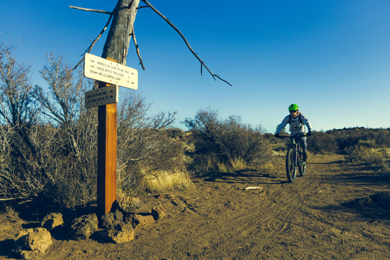
Area Description: The prime spot for winter riding due to its sandy soil. Take a narrow, singletrack trail into the high desert and experience views of the Cascade Mountains from almost every angle of this 10-mile loop. In some areas, overgrown bunchgrass and sagebrush stick out into the trail, while bumpy horse tracks keep you on your toes.
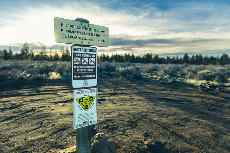
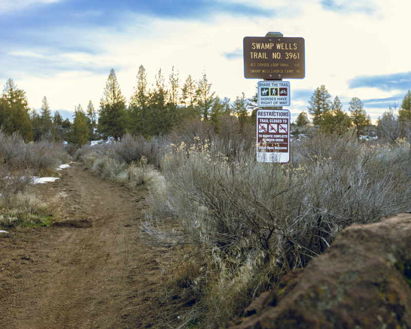
Trail Highlights: Horse Butte Loop combines 4 trails - Arnold Ice Cave, Boyd Cave, Coyote Loop, and Swamp Wells trails - to make a 10-mile loop. It can be ridden clockwise and counter-clockwise; however, most riders prefer to do it counter-clockwise so they can go down the techy switchback section (instead of up it). Cover even more ground by making a giant loop! For a longer adventure (counter-clockwise), you can stay on Swamp Wells and hit Arnold Ice Cave Trail all the way back to the beginning, or take Swamp Wells to Coyote Loop Trail and follow it around to hit those switchbacks on Arnold Ice. You can also do a little cave exploring by visiting Boyd Cave or Arnold Ice Cave. To get to the Boyd Cave entrance, take a left onto the gravel road where Coyote Loop meets Boyd Cave Trail and follow to entrance. To check out Arnold Ice Cave, follow NF-18 off of Coyote Loop Trail and take a left on Swamp Wells Rd. After .5 miles, Arnold Ice Cave will be on your left. |
|
|

